
Site Kit is a one-stop solution for WordPress users to use everything Google has to offer to make…
About Mapster WP Maps
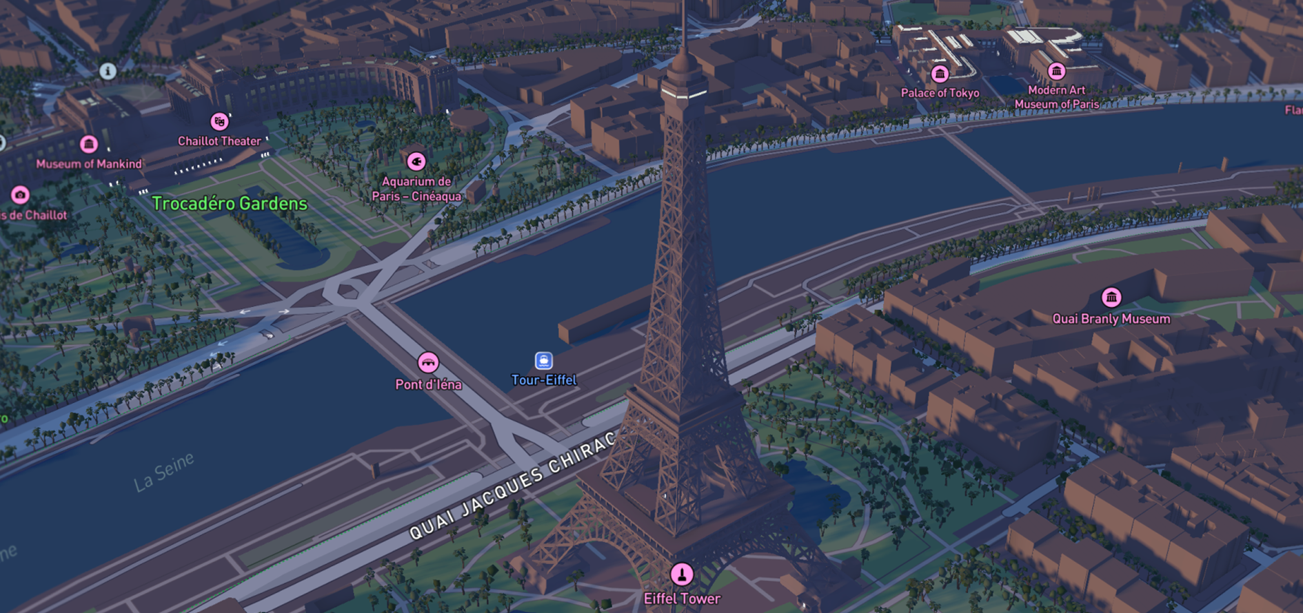
Mapster WP Maps is a comprehensive map editor and creator for WordPress that integrates MapLibre, Mapbox, and Google Maps without the need for an API key. The plugin offers a wide range of features for map customization, controls, geographic features, popups, import capabilities, and developer tools, with additional functionality available in the Pro version for users needing more advanced features and support. Whether you're a developer or a map enthusiast, Mapster WP Maps aims to provide a user-friendly and customizable mapping solution for your WordPress website.Screenshots
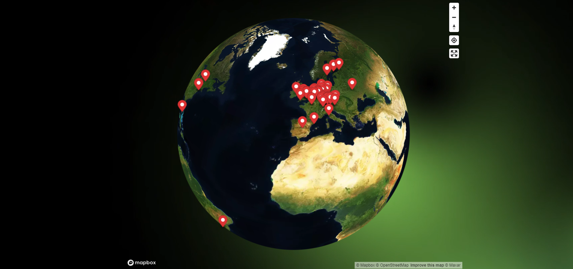
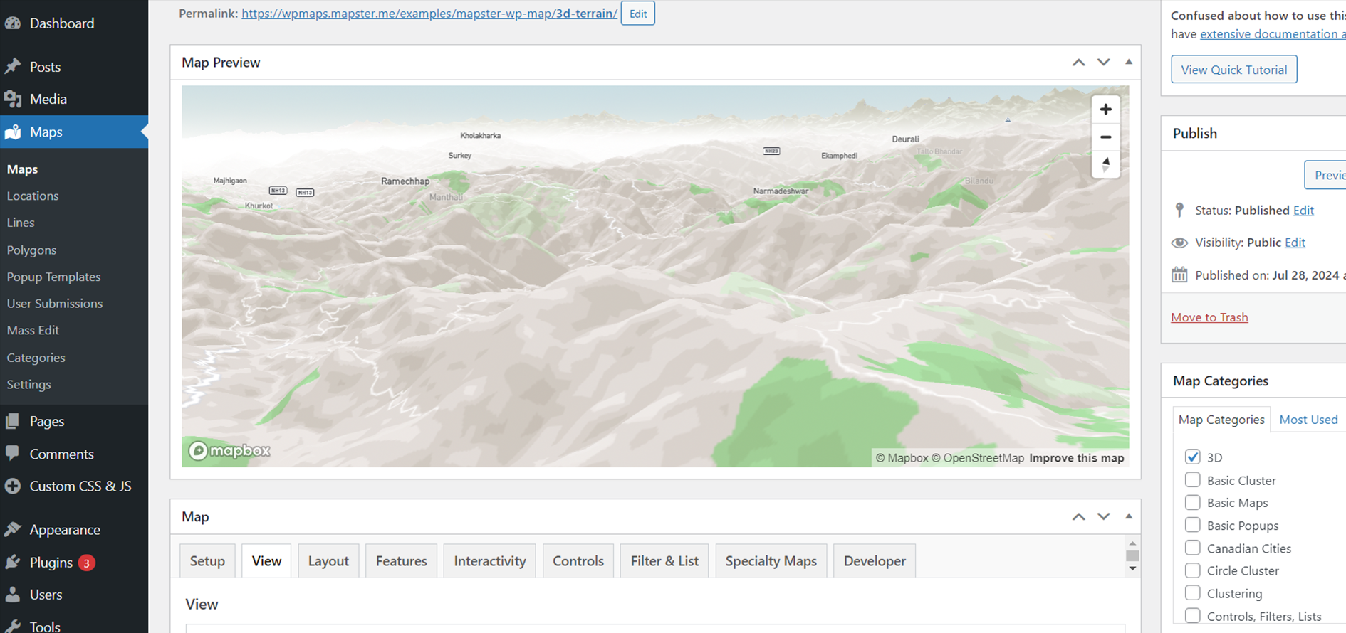
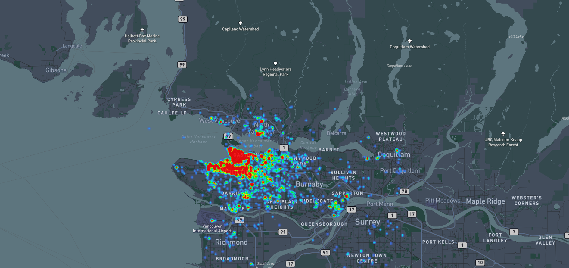
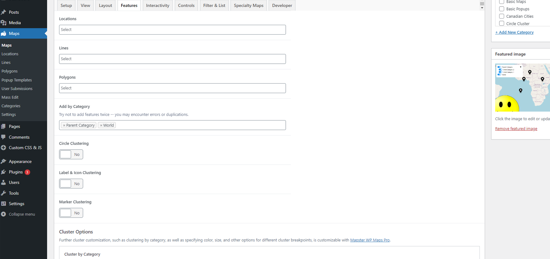
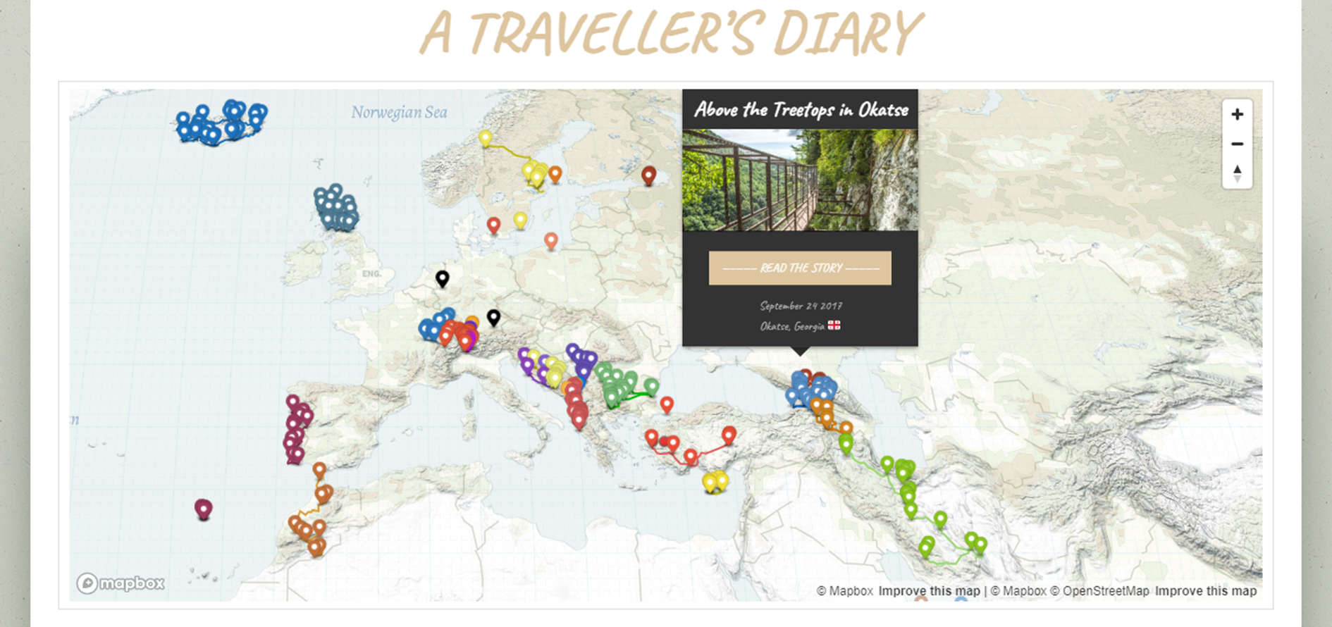
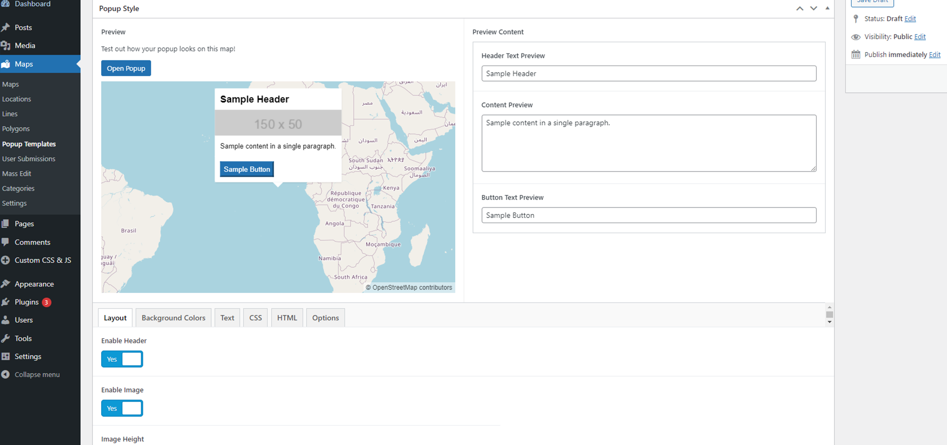
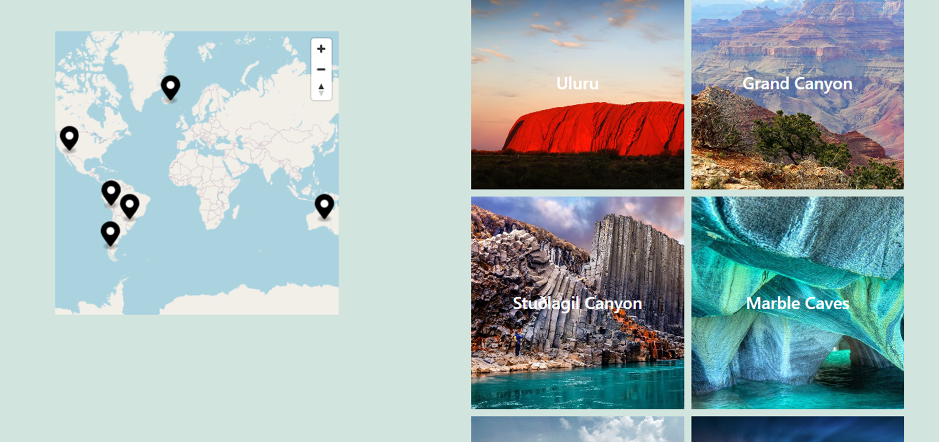
Changelog
1.16.0
- Enhanced CSV upload with recurring scheduled CSV
- Adding complete custom fields to enhanced CSV
- Attribution control added to Maplibre
- Allowing rendering of linebreaks in labels
- Return glyphs to remote source
1.15.0
- Fix to full page height in some cases
- Adding header to modal popup
- Permalink flush fix
1.14.0
- Improving null location error alert
- Added static circles
- Fix to ACF field sans styling, more clarity
- Major enhancements to Listing Map
- Option to have category filter parent be cosmetic only
- Fix for Google Maps marker popups
1.13.0
- Loading fonts locally for free map types
- Fix to hover popup when hovering over other polygons
- Update for 6.8
1.12.0
- Adding {post_title} tag to HTML editor
- Adding Gravity Forms integration and custom field
- Fix to distance sorting when category list control enabled
- Fix to popups opening on listing page
- Unlimited categories during geoJSON import (set_categories property)
- Adding support for WEBP, AVIF, and SVG for icon images and polygon images
- Adding support for scalable SVGs as background images for maps
- Bug fix for permalink flushes
1.11.0
- Store Locator loading fix
- Freemius update
1.10.0
- Fix for zooming on custom search filter
- Fix for multiple image maps
- Adding cursor effect on hover
- Freemius update
1.9.0
1.8.0
- Bug fix for geocoder search
1.7.1
- Fix with category list special properties
- Large custom image maps working in mobile
- Fix for missing popups on full screen maps
- Allow text overlap
- Adding popup anchor options
- Popup fixes and map centering fixes for Store Locator
1.6.0
- Fix for clicking 3D objects
- Bug fix for “Text” Mass Editing Popup description
- Quick set for manual view values
- Map compare shortcode fix
- Heatmap trimming fix
- Style switch fix with Mapbox update
- Improving security for API endpoints
- Alignment fix for popup text
- Security fix for popup JS injection
1.5.0
- Custom search working with custom zoom level
- Adding restriction by bounds to geocoder
- Security fix to options
- Opacity hover effect on icons added
1.4.0
- Create completely full-page maps
- Update Mapbox 3.6.0
- Adding Standard Styles with lighting
- Control menu toggle container for hiding controls
- Fixing event listener bugs associated with controls on multi-map pages
- Freemius update
- Improved printer icon for Print Control
- Add custom padding for bounds on load
- Labels present on Category Filter Dynamic Properties
- Adding a ton of awesome new styles
- More restrictive scoping of event listeners on various controls
- Bug with download control
1.3.0
- Adding Reset button for category filter
- Adding image layer for polygons
- Making Mapster ACF field functional for other post types
- Fixing bug for tilt and rotation in mobile
- Adding ability to draw bezier curve
- Adding shortcode render for popup content
- Adding ability to reorder categories in filter
- Reorganized map editor interface for easier navigation
- Cleaning up some interface text in Pro
- Ordering control load order
- Can enter multiple features in shortcodes
- New version numbering system
- Validating ACF Mapster Map field for required field
- Ability to geolocate to user IP address
- Improved selector for map styles
- Fix for Carbon Fields meta fields display
- Advanced List Control functionality (accordion, ordering features, sorting by categories)
- Fix on List Control clicking
- Fix on modal opening immediately showing undefined
1.2.42
- Fix for google maps markers
1.2.41
- Loading a map via querystring and opening popup automatically
- Select map language for Mapbox maps
- Added blueprint for testing
- Custom zoom level for locations
- Adding images for clusters
- Fixing globe transparency
- Adding Print Control
- 3D shapes working with category filter
- Images with filter dropdown
- Modal details including custom properties
- Attribution control added
- Static icon sizes
- Images with list control
- Embed to iframe for Safari
- Geocoder now accepts lat/lng entries
- Added optional animation to globe view
1.2.40
- Updating Mapbox GL JS to v3.1.2
- Adding marker color option for geocoder
- Updating image thumbnail sizes for sidebar slideshow images
- Updating ACF and more deprecation notices for PHP 8.2+
- Allowing display for non-category symbols during category clustering
- Bug fixes
- Freemius update
1.2.39
- Stamen tiles update (still not open except from localhost)
- Adding cooperative gestures
- Fix to filter dropdown clicking in some browsers
- Changing how symbols show/hide during category filters
- Centering coordinates when edited manually in Locations
- Adding listing specialty map
- Ability to open directly to modal
- Popups working on 3D models
- Fix on directions layers not appearing (not detecting loaded state)
- Prevent focus on popups when opened
- Store hours properly hidden
- Google Maps Store Locator Mobile fix, scrolling fix
- PHP 8 fix for deprecated dynamic properties
- Security fix for shortcode XSS vulnerability
1.2.38
- Ensuring borders are hidden when circles are hidden
- Prepping for major update of Maplibre version
- Fixing some mobile popup issues with Maplibre
- Popup image resolution options added
- Adding additional geolocation options
- Fixing reloading of custom icons on default style switch
- Interactions between search filter and category toggle
- Updates for PHP 8.1
- Fix for cursors on label icons with popups
- Moving cache generation to wp-uploads
- Fix to user submission posts showing in single feature shortcodes
1.2.37
- Ability to create map caches
- Simplification tool for shapes
- Properly output content in feature object
- Hovering bug fix for overlapping polygons
1.2.36
- User submission datepicker bug
- Modals able to render shortcode content
- Category option to have numbers rendered
- Ability to show category name as cluster instead of number
- Freemius update
1.2.35
- Previews for specialty map types
- Improving modal close button
- Renaming Mapbox Style URL to Style URL for all providers
- Added ESRI Satellite layer
- Layer control error correction
- Improved user submission flow
- Removing references to CSV regular importer
- Adding features images to maps
1.2.34
- Fix for popup image backgrounds
- Incorrect update
1.2.33
- User Submission error
- Ensuring custom HTML shows correctly in map edit
- Removing unneeded vendor files
- Mass Edit for showing map in post
- Correcting import count on title
- GeoJSON download button fix
- User Submission edit post display script fix
- Map style slider beta
- Heatmap beta
- Reorganize map editor tabs
- Elevation map beta
- Fix for none permalink type
- Download only included fields
- Ensuring general and specific hooks both run
1.2.32
- Fix to accordion layout (oops)
- Ensuring premium plugin deactivates free plugin without an error
- Improving script loading by pre-compiling
- Restricting enqueued backend scripts to appropriate post types
- Fixing click-to-link so doesn’t open when disabled
- Fixing overflow scroll on List Control
- More elegant marker clustering (no flash of single markers)
- Ability to set number of search results for Custom Search Filter
- Style switcher control
- Layer switcher control
- Different search options for Custom Search Filter
1.2.31
- Removing extra field User Submission
- Minor CSS fixes User Submission
1.2.31
- Removing test code limiting uploads /facepalm
1.2.30
- Fixes to category marker clustering
1.2.29
- List control mobile layout fix
- Limited geocoder country fix
- Shortcode generator for features
- Setting default template map
- Improving centering of popups
- Update instructions for importing shapefiles
- Improving hover flickering on polygon popups
- Completing first version CSV import
- Fix to 3D terrain adding
- Hovering on layer features improved
- Extra list elements removed category filter
- Speed improvements in Pro
- Move attribution control
- Move logo position
- Allowing category exclusion for filter
- Collapsible menu for category filter
- Improved loading UX
- Fixing icon size bug with large images
1.2.28
- Added indicators of current map details in Manual Center and Zoom
- Fixing geolocation on load bug
- Custom list control store locator button
- Fill extrusion bug fix
1.2.27
- Extend zooming functionality to non-markers in List
- Adding functionality for zoom on click popups
1.2.26
- Allowing disable rotation and pitch
- Adding functionality for center on click popups
1.2.25
- Fix to embed code
- Allowing uploading errored geojsons
- Ability to change editing map style
1.2.24
- Fixing encoding in Dropdown List
- Mobile breakpoints
- Update to latest ACF version, extracting styles
1.2.21
- Improvements to User Submission
- Expandable map edit screen
- Download geoJSON edit screen
- Showing proper labels for complex ACF fields
- Adding Gutenberg selection block for map
- Custom Images as base maps
- Fix to map rotation (bearing)
1.2.20
- Labels on checkboxes for filter
- Strings for User Submission
- WPML integration User Submission
- Editing permissions User Submission
1.2.19
- User Submission popups
- Adding link to store locator fields
- Category filter interact with Store Locator
- Multi features initial shape
1.2.18
- Restriction of user movement on map
- Allowed area during user submission
- Adding custom HTML control
- Adding CSV export user submissions
- Adding clustering by category
- Translation strings for submission process
1.2.17
- Bug fix layer trigger popup on load
1.2.16
- Revision of user submission
1.2.15
- Geocoder control fix
1.2.14
- Ensure code fields show up in Free version
- Adding globe view
- Add geolocation on by default to control
- Properly render HTML entities in Custom Search Filter
- Remove marker from Custom Search Filter, add automatic popup open on markers
1.2.13
- Open popup on feature layer on map load
- Bug related to lines automatically showing dashes
- Bug with X/Y positioning on labels and icons in production
- Adding function to add category to a div
- Making sure properties formatted properly when objects
- Bug editing features in user submission with template overwrite
- Loading support for Elementor elements
- Unhiding height fields
- Adding custom lat/long and zoom options to shortcode
1.2.12
- Layout user submission
- Adding wrapper, CSS, JS to user submission
1.2.11
- Bug with duplication importing
- Migration tool and documentation
- Category fix
- Semantic change user submission
1.2.10
- First implementation 3D models
- Adding starter tutorial
- ListControl fix
1.2.9
- Adding custom spatial database
- Adding MultiPolygon, MultiLineString editing
- Spatial API 1.0
- Fix for local ACF and ACF Pro
1.2.8
- Minor Mass Edit js bug
1.2.7
- Full width fix for all containers
- Optional widths for sidebar
- Secondary categories in advanced importer
- Adding dynamic features to custom HTML popup templates
- Gallery margin-left fix
1.2.6
- Adding custom style JSON
- Google Maps first integration
- Hiding Mapster WP Maps ACF field
1.2.5
- Import bug with many properties
- Mass edit small bug
1.2.4
- Map projections
- Update Mapbox 2.8.2
- Adding 3D models first pass
1.2.3
- Clustering for markers
- 3D extrusions
- Pitch and rotate enabled
1.2.2
- Hover effects for popups
1.2.1
- Custom HTML for popups
1.2.0
- Integrating Freemius
1.1.5
- Updates for WPML fetch all language posts
- Fixing front end geocoder
1.1.4
- Adding map display to location, line, and polygon post types
- Fatal error
- Image issue fixed
1.1.3
- Major PHP bug fixed
1.1.2
- CSS Admin menu
- Domain fix
1.1.1
- Popups stay open on mouse hover option
- Customizable permalinks
- Breaking errors
1.1.0
- Numerous bug fixes
- Splitting plugin into Basic and Pro
- Quality of life fixes
1.0.3
- Editor bug fixes
- Marker overlapping bug fix
1.0.2
- Bug fixes custom scripts
- Allowing large file uploads
1.0.1
- Bug fixes marker popups and dropdown list
1.0.0
- Rewrite to make plugin more extendable and developer-friendly
- Store locator functionality and addon
- Numerous smaller bug fixes
0.5.16
- Allow MultiLineString and MultiPolygon uploads into features
- Significantly expanded Store Locator functionality
- Prepping for addon plugins
0.5.15
- Adding user submission of features
- Bug with search filter not loading geocoder
0.5.14
- Allowing category filter to be initialized “off”
0.5.13
- Updating initial bounds zoom
- Some issues with the last update, missing scripts
0.5.12
- Improvement to script loading
- Placeholder option for list control
- Ability to turn off map horizontal duplication
0.5.11
- Conditional script loading
- Editor improvements adding/deleting
- Editor improvements clustering icons
- Addition of gallery slideshow to popups
- Ability to open popups in a sidebar instead
- Ability to enter in location coordinates directly
0.5.10
- More API bug fixes
0.5.9
- Bug fixes editor
- Bug fixes API
- Marker fix for category filter
0.5.8
- Marking some features as in development
- Improving marker image sizes
0.5.7
- Improving marker clicks during mobile
- Major loading improvements for larger maps
0.5.6
- Fixing multiple maps on one page
- Cross-origin image fix
- Properly calling titles for filters
- Click hover popups in mobile
0.5.5
- Increasing specificity of button styles
- Adding geosearch to Lines and Polygons
0.5.4
- Fix pointer background bug
- Easy duplication of posts
- Improved bounds loading
- Marker click to URL
0.5.3
- Import geoJSON
- Ability to interact via custom scripts
- Full width maps
- Fixed Safari/Firefox icon bug
0.5.1
- Import from Mapbox WP GL JS
- Add/remove features by category
0.5.0
- Complete rewrite with ACF and jQuery
0.4.3
- Adding Mapbox Terrain
- Adding custom tilesets
- Set view with a button
- Tutorial links
0.4
- Switching Mapbox 1.13 to MapLibre
0.3
- Adding delete functionality
- Improving geocoding
- Improving view control
0.2
- Adding location geocoding
0.1
- Push to do beta testing.